Yazan Khalili
The whole act of making a landscape of Palestine, or what can be called “The Open”—that which is “outside” the urban space; of making it a timeless continuation of the imagined biblical landscape, has been part of the Zionist process for colonizing the land and replacing its native inhabitants. This process knows two phases: Firstly, by making the native inhabitants part of the scenery; part of the landscape, the image is lent an “authentic” aesthetic. Secondly, by inverting that very process, and by looking at those very people as undeveloped characters who fail to understand the value of the landscape, it is reasoned that the land should be taken away from them and the desert turned into a blooming country of “milk and honey”. Subjects produce the scenery and then disappear.
This reduction of Palestine into the “status” of a simple landscape alienates Palestinians from the land, but interestingly, not from the image that represents the landscape. Access to the land is limited and restricted by different encounters: temporary and structural, procedural and bureaucratic. The Wall, checkpoints, by-pass and settler-only roads, settlements, military zones, and of course, all the necessary permissions which have become harder than ever to obtain, prevent a sense of familiarity with the landscape. They castrate the possibility of constructing a collective relation in and through the land and its geography. Exile occurs without the indigenous having been expelled; we become passers-by on the road-networks that penetrate the landscape when travelling from one ghetto to another (the ghetto known as Area A as per writ of the Oslo Accords), and we become temporal inhabitants of the roads overlooking that timeless landscape.
Strangely, we, “Palestinians”, cannot see that very biblical landscape; we don’t belong to it because we are it. Our vital space is its continuation through the history, and when we begin depicting that space as a landscape we begin to give ourselves over to that sense of alienation from what used to be a place.
From the Nakba (Arabic for “catastrophe”–or the loss of Palestine in 1948) throughout the years of occupation, the landscape has been represented as an image of vanishing space, from a possible site to a distant sight that represents all these policies and structures of separation and oppression. These images are produced to represent feelings of loss and trauma from the conflict; images of olive groves, of ancient roots of villages, of the terraces, and more. Images that document the actions of the occupation, showing the gray concrete wall penetrating the land, settlements in the horizon, the misery of the queues of people waiting at checkpoints; whether mass mediated or in art, whether by foreign or local photographers. All these images are familiar to us. This is how we see the land: a landscape practiced through occupation and alienation. We become fixated on the visual representation of our political status; we become familiar to this landscape because we become used to seeing it as an alien place.
Clearly I am not implying that we “Palestinians” never did have a landscape before the British Mandate or the Israeli occupation—far from that. Every nation has a landscape that it relates to, constructing part of its collective narrative through both traversal and imagination. The problem is not in the landscape as a scene, but in the act of transforming the space to become a scene. Violence is not only what is practiced through space, but also in making a landscape out of that violence. The Wall is not only there to separate us from the land, it has also become our landscape.
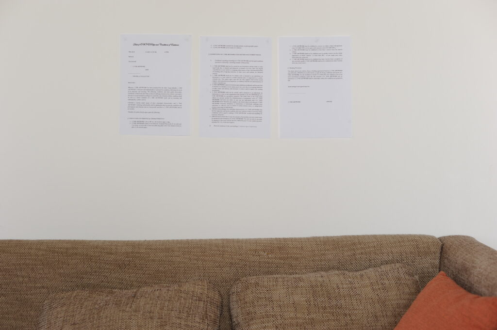
The Artwork is a photograph that contains a contract that speaks in the name of the artwork.
The main premise of this work is the question of boycotting, more precisely: can an artwork boycott? And can we take seriously what the artwork is trying to say? Creating a situation in which the artwork demands the boycott of the institution it refuses to be exhibited in, owned or collected by.
The Artwork is a photograph (79 x 120 cm) which contains the contract that has been drawn up by Dr. Martin Heller, a Berlin-based lawyer who specializes in art-related issues.
The contract, even though it is written in legal terms and wording, does not stand up when presented in a legal context. Its failure is due to the fact that the artwork itself cannot speak in a legal sense, it cannot be part of the contract, it cannot speak for itself, only the artist can speak for it, which is why this contract fails to represent the artwork in itself. The contract creates a kind of legal and ethical paradox.
The project aims to investigate the boundaries between law and justice, how justice cannot be expressed through law, and how law becomes a language that includes and excludes subjects according to its own regulations and structures.
The photograph contains the contract the artwork speaks through, stating its clear demands on the way in which it can be exhibited, collected, and owned. However, whoever exhibits, collects, or owns this artwork can decide whether to obey these demands and conditions or not, depending on whether they take the artwork seriously, or not.
The work has been produced with the great help and assistance of Dr. Martin Heller.
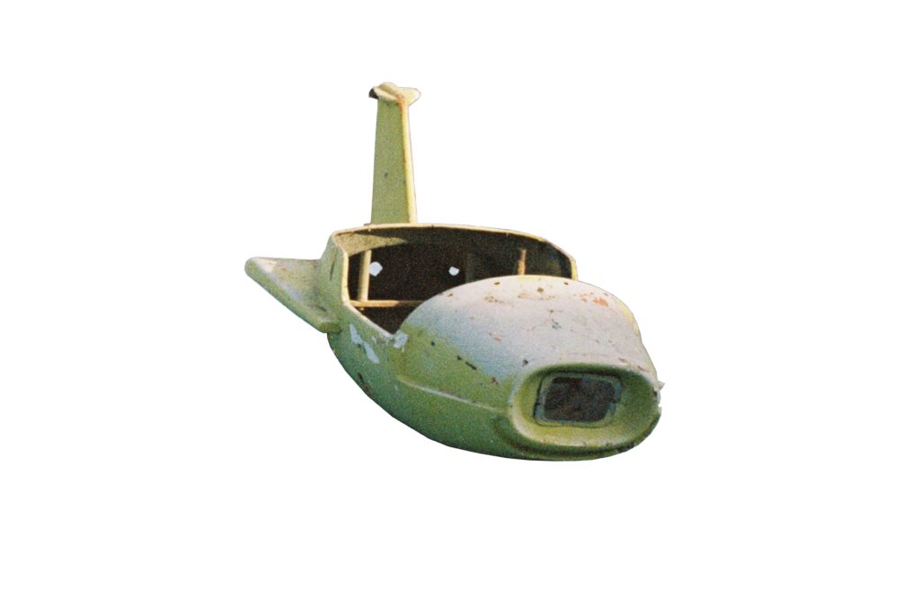
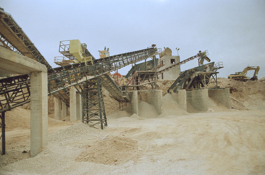
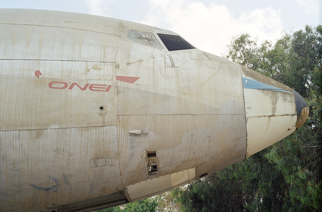
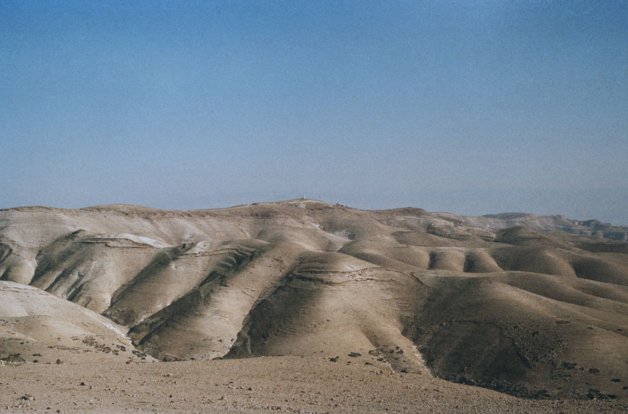
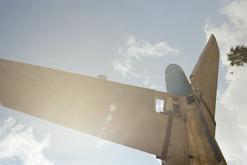
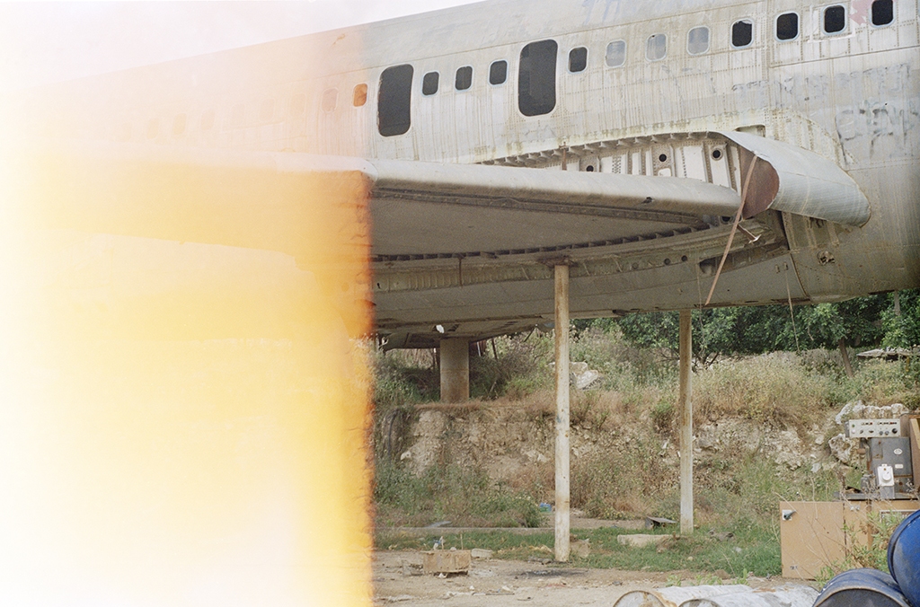
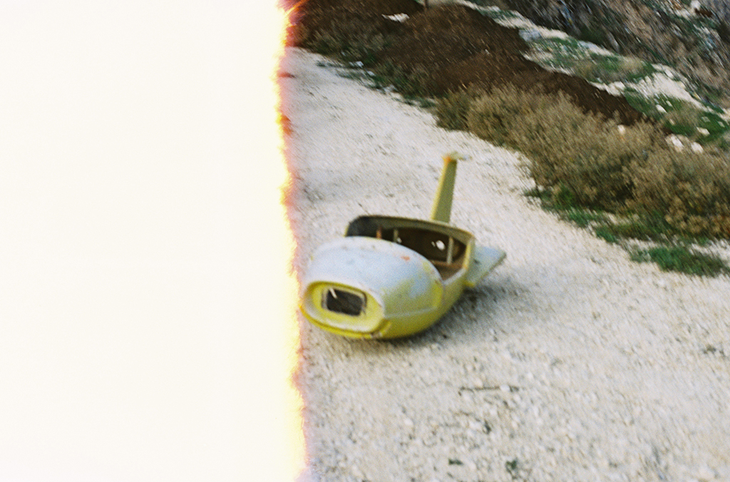
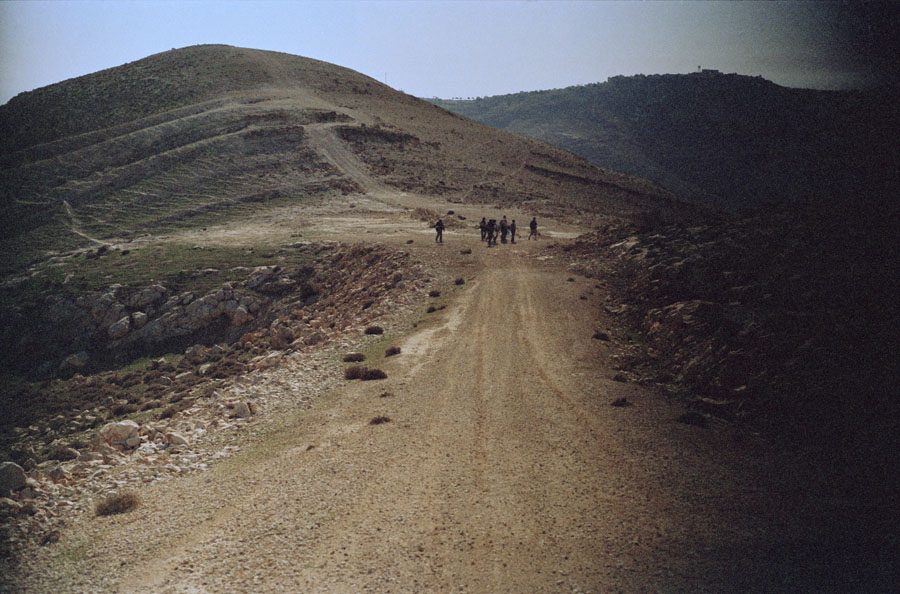
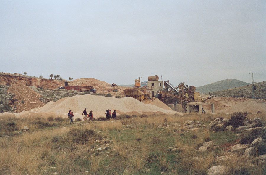
The Aliens 08, 2015, Colour Lambda print, ed 3 + 1 ap + 1 set, 33 x 50 cm, € 2.500 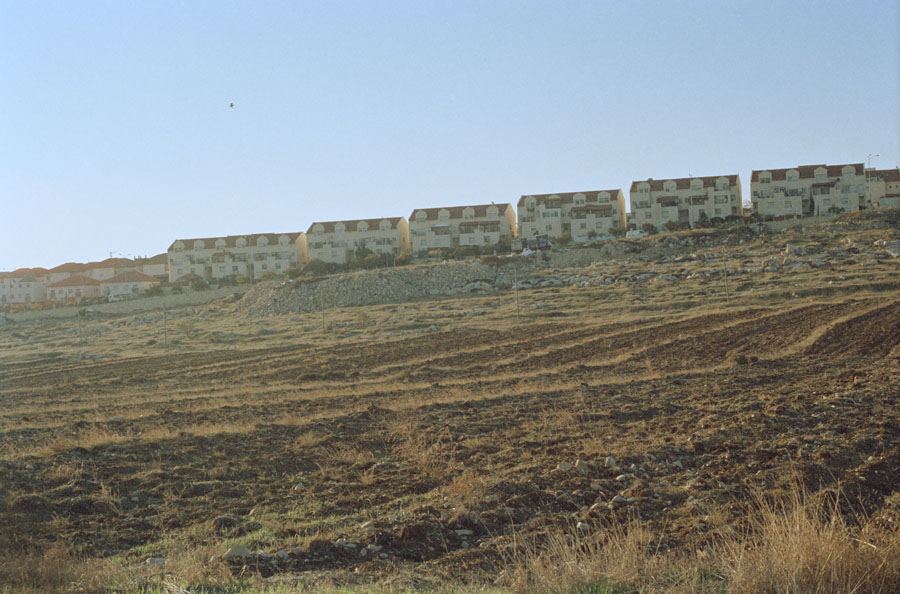
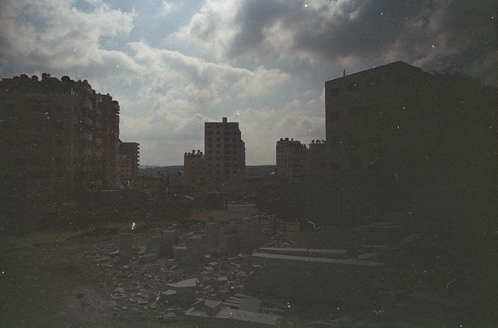
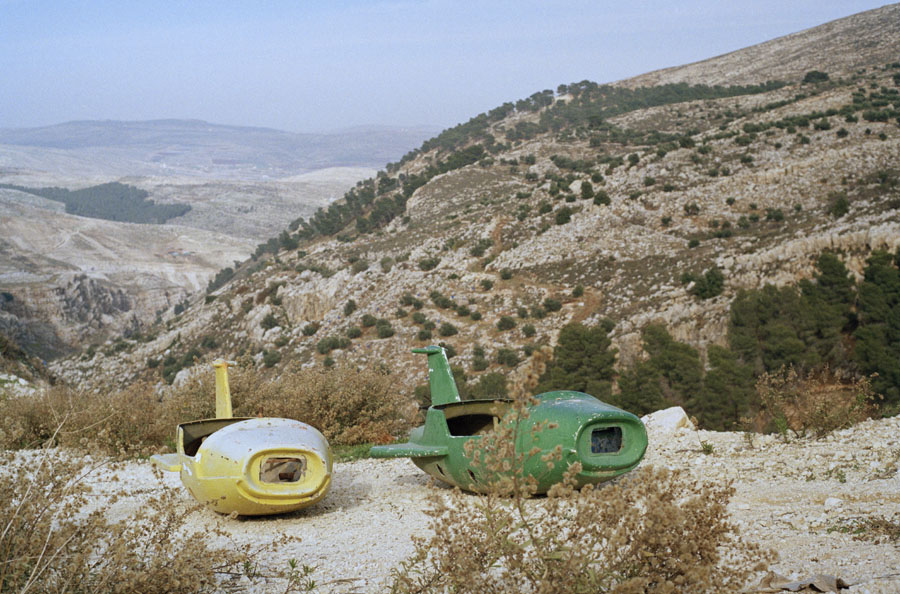
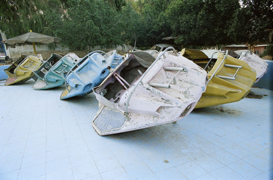
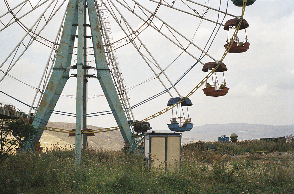
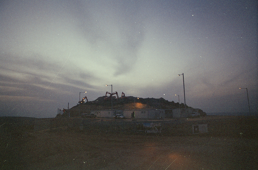
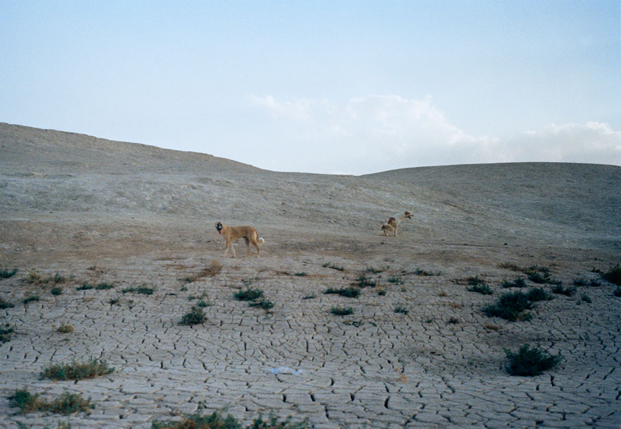
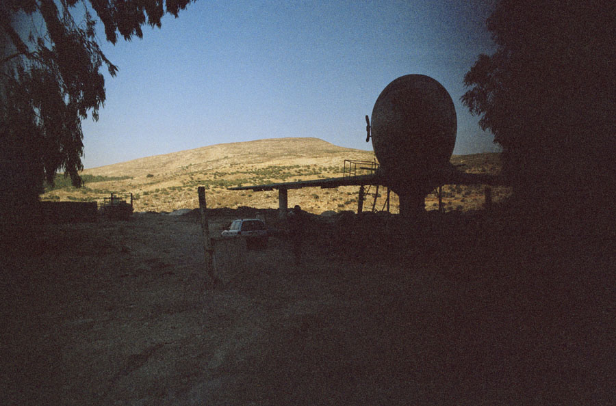
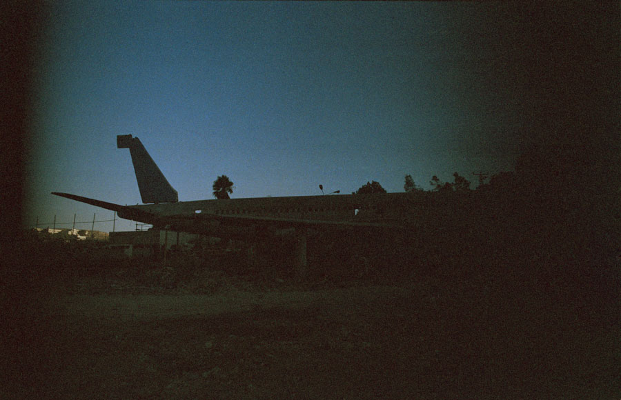
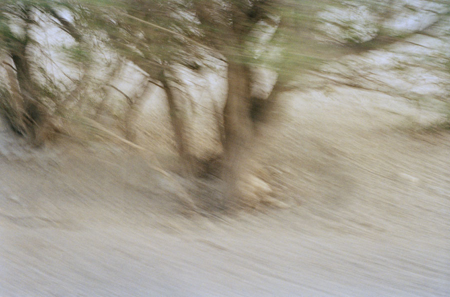
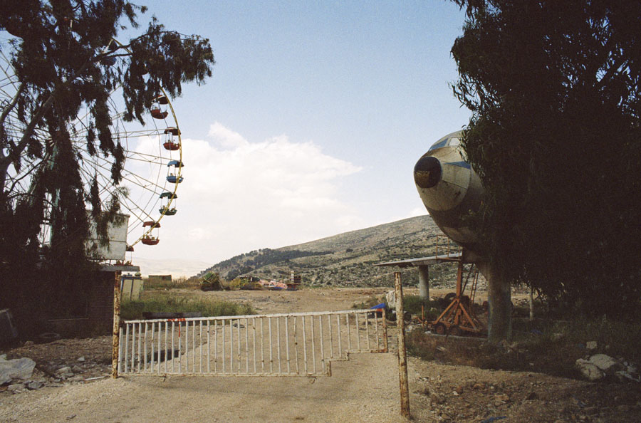
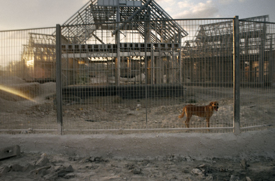
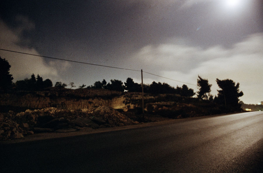
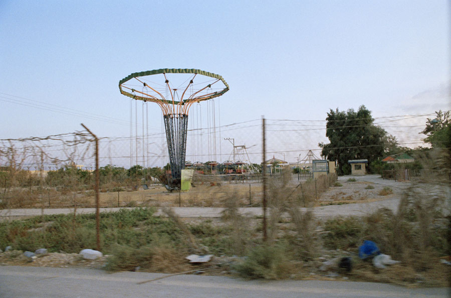
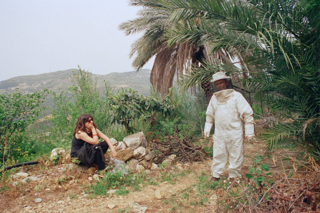
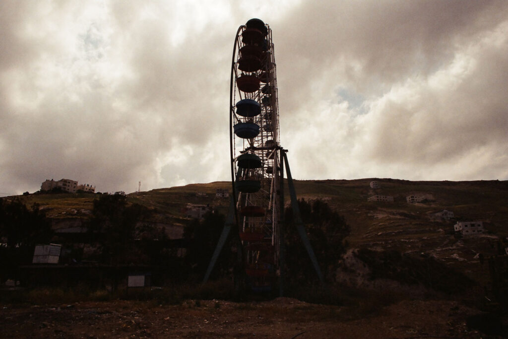
The Aliens 02, 2015, Colour Lambda print, ed 3 + 1 ap + 1 set, 20 x 30 cm, € 1.500 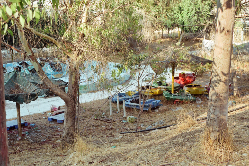
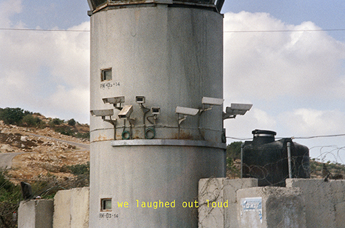
The Aliens 07, 2015, Lightbox, ed 3+1 ap + 1 set, 33 x 50 x 12 cm, € 3.600 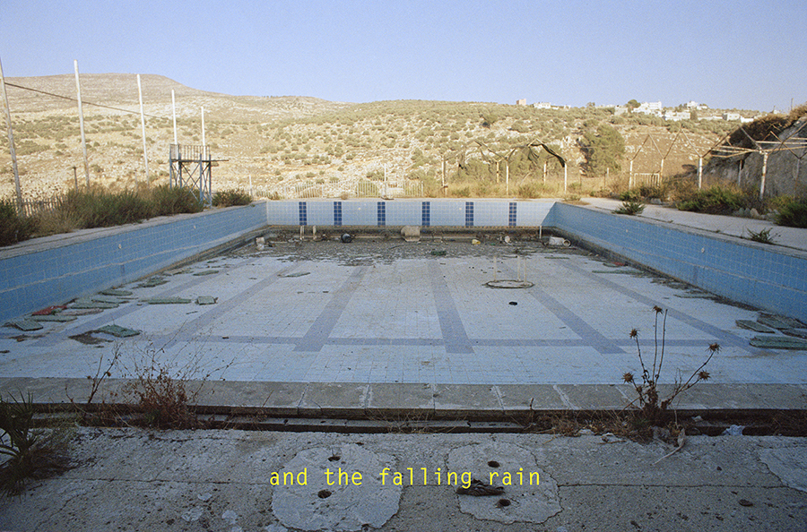
The Aliens 06, 2015, Lightbox, ed 3+1 ap + 1 set, 33 x 50 x 12 cm, € 3.600
Khalili brengt een verhaal over een groep astronauten die terugkeren naar een landschap dat ze dachten verlaten te hebben. Ze worden geconfronteerd met een onverwachte omgeving die hen doet afvragen of hun terugkeer wel reëel is, of misschien is elke terugkeer wel een fictie?
De tentoonstelling bevat foto’s, diashows, lightboxen en objecten.
Dit is de tweede solo tentoonstelling van Yazan Khalili in galerie Transit.
Een gratis publicatie [60 pag.] is beschikbaar in de galerie.
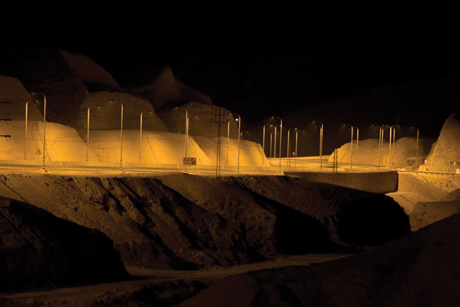
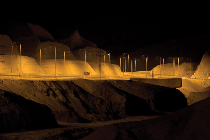
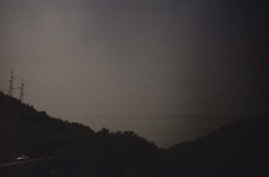
Landscape of Darkness – 20” |f 7.1, 2010, pigment inkjetprint op dibond ed 2/6, 66,7 x 100 cm, € 5.400 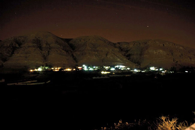
Landscape of Darkness – 10” |f 4.0, 2010, pigment inkjetprint op dibond ed 1/6, 66,7 x 100 cm, € 4.800 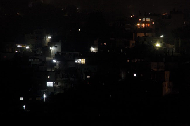
Landscape of Darkness – 20” |f 18, 2010, pigment inkjetprint op dibond ed 2/6, 66,7 x 100 cm, € 5.400 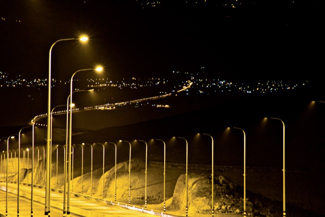
Landscape of Darkness 3.2” |f 7.1, 2010, pigment inkjetprint op dibond ed 1/6, 66,7 x 100 cm, € 4.800 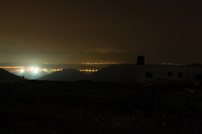
Landscape of Darkness – 30” |f 6.3, 2010, pigment inkjetprint op dibond ed 1/6, 66,7 x 100 cm, € 4.800 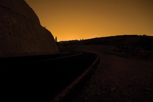
Landscape of Darkness – 30” |f 5.0, 2010, pigment inkjetprint op dibond ed 1/6, 66,7 x 100 cm, € 4.800
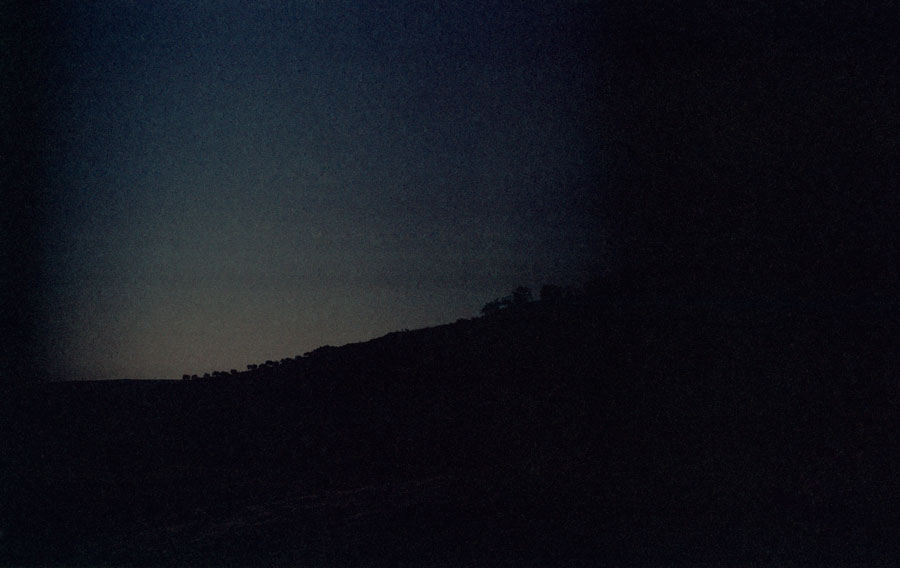
‘In het voorjaar van 2002, tijdens de massale Israëlische invallen in de steden op de Westelijke Jordaanoever, zaten mijn vriend Mohannad en ik gedurende enkele weken vast in de stad Birzeit, onder een ‘losse’ avondklok. Op een ochtend, om 3 uur, rusteloos geworden door verveling en de stroomuitvallen, besloten we een wandeling te maken naar een nabijgelegen heuvel. Het was zo donker dat we nauwelijks iets voor ons konden zien en hoewel we langzaam liepen, bleven we maar vallen, maar dankzij de kracht van de verveling bereikten we toch de top van die heuvel.
En daar was ze. Daar in die totale duisternis, glinsterend als een diamant die net op aarde was geland, was de stad, de kustlijn: Yaffa. Er was niets tussen ons, behalve de onmetelijke duisternis.
Mohannad keek me aan en zei: “O mijn God, ik wist niet dat ze zo dichtbij was”. “Ik ben er nog nooit geweest … ” antwoordde ik, zonder mijn ogen ervan af te wenden. Zonder veel te praten vertrokken we in haar richting. Zo dichtbij, we waren ervan overtuigd dat het ons maar een paar uur zou kosten om ze te bereiken. We stapten en stapten, en terwijl we stapten, werd de rand van de Middellandse hemel al opgelicht door het eerste streepje dageraad. Hoe meer de hemel oplichtte, hoe meer de stad zich langzaam van ons verwijderde totdat ze uiteindelijk volledig verdween in het licht.
Op het moment dat de stad in het licht verdween, riep de duisternis zich als landschap uit. De duisternis die in een oogopslag dit gefragmenteerde land bij elkaar bracht, vlakte het af en diende als een platform waar verbannen ruimte kan worden teruggevorderd, en een verhaal van een continue ruimte kan worden geconstrueerd.‘
Yazan Khalili